Home ⟩ GTK ⟩ The Layman’s Sample Practice and General Information on Geology ⟩ Datasets, Maps and GTK’s Online Services
Geological Survey of Finland GTK offers a wide range of materials, maps, images, and research results on its website. Here are the most relevant services for rock enthusiasts. Some useful services from other organizations are also included.
The links on this page direct you to the map services provided by GTK and the National Land Survey of Finland (MML). These maps can be used for guidance in the terrain but they also provide information on the geology of the area. GTK’s map service interfaces contain a wealth of observation and measurement data, as well as interpretations based on the data.
GTK’s Geo.fi webpage is also useful to rock enthusiasts. This webpage is a central location for up-to-date geological information, maps, spatial data products, documents, and images. All GTK’s data and online services are gathered on this webpage.
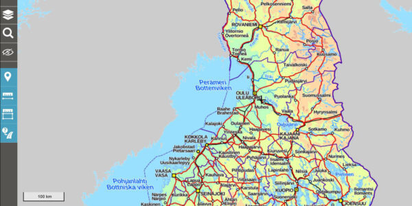
In National Land Survey’s MapSite service (Karttapaikka), you can find topographic maps, aerial images, and background maps. The service enables you to view location coordinates of your choice.
Visit Karttapaikka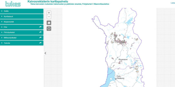
Finnish Safety and Chemicals Agency (Tukes) maintains the mining register and a map service that displays rights issued under the Finnish Mining Act, including reservations, applications, and permits. By clicking on a location, you can view the holder of the mining permit.
Visit the map (in Finnish)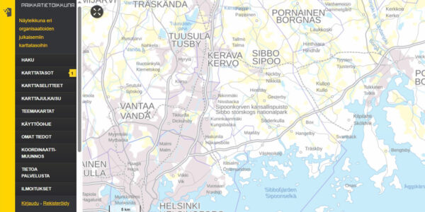
The National Land Survey's (MML) Paikkatietoikkuna is a national spatial data portal that presents geospatial datasets and services, as well as possibilities for their utilisation. The geology layer includes several different maps.
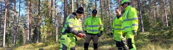
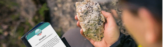
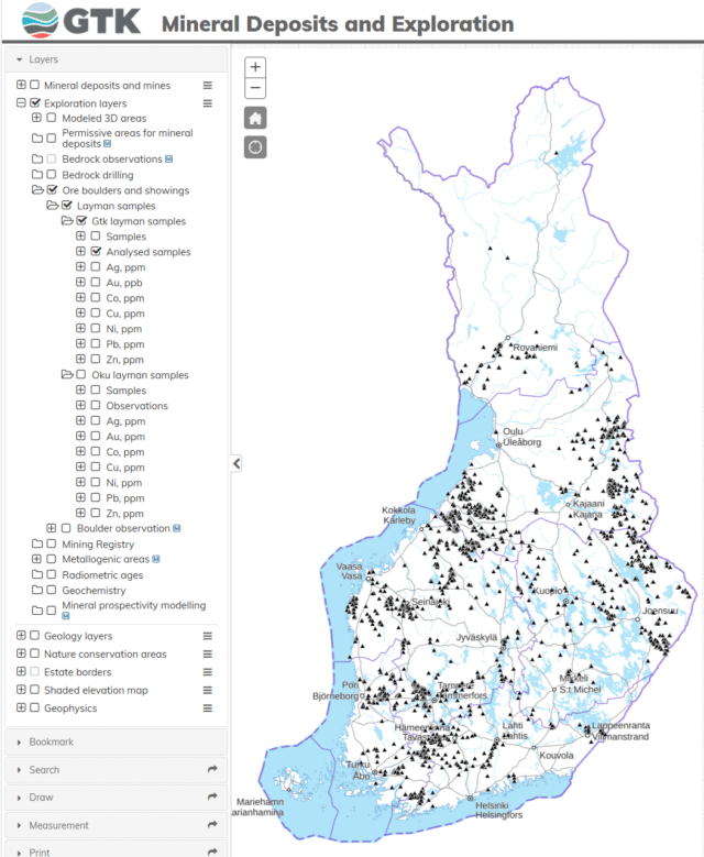
Visit PaikkatietoikkunaTens of thousands of layman’s samples have been submitted to GTK over the years. Some of the samples have been analysed more closely in the laboratory. A portion of the analysed and field-verified layman’s samples have been added to GTK’s Mineral Deposits and Exploration (MDaE) map application.
Results of layman’s samples analysed between 2014 and 2023 are currently available in Excel format (in Finnish). You can download the Excel file here.
To view field-verified layman’s sample locations on the map, the following layers must be enabled in the Mineral Deposits and Exploration (MDaE) map application.
You can assess different geological datasets in the GTK spatial data product service Hakku. This service also includes layman’s sample data (in Finnish, Kansannäyteaineisto). The layman’s sample dataset contains information collected by GTK and Outokumpu Oy from amateur geologists that have submitted bedrock and boulder samples.