3D Geological Modelling Illustrates Finland’s Geology and Makes It Comprehensible
The Geological Survey of Finland (GTK) combines a wide range of geoscientific spatial datasets into three-dimensional models that can be used to assess natural resources, support land-use planning, and gain a more detailed understanding of the structure of the subsurface.
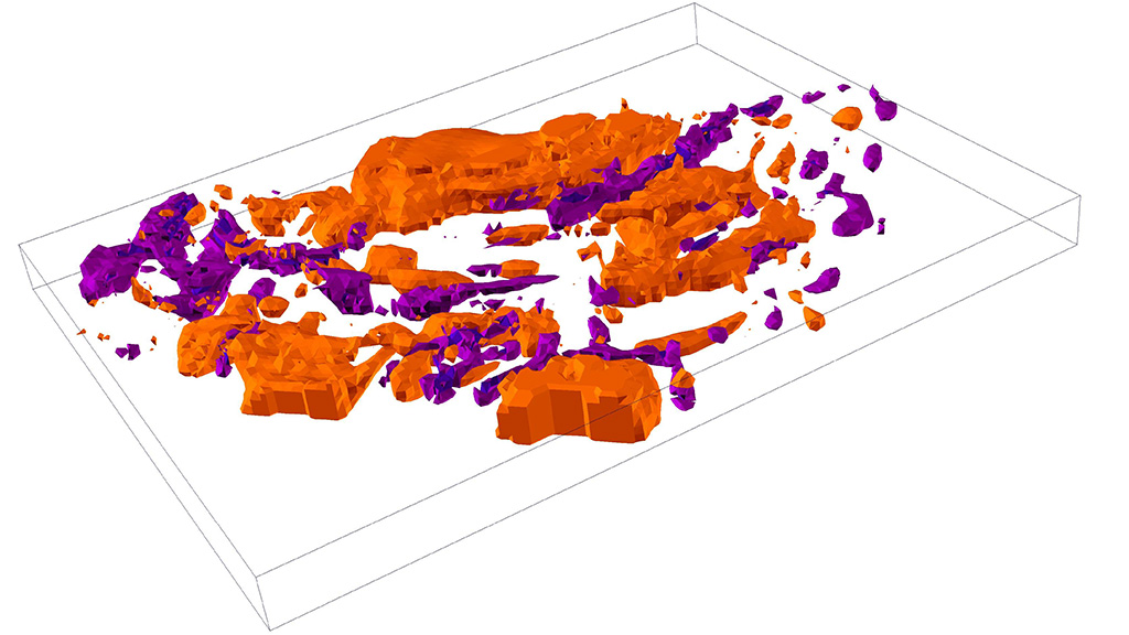
GTK has carried out geological 3D modelling in various research and development projects since the early 2000s. The modelling is based on multidimensional spatial data collected by GTK, including bedrock and superficial deposit geology, mineralogy, geochemistry, geophysics, and groundwater data. Based on these datasets, three-dimensional models are created to describe the structure and properties of the subsurface geology.
A key advantage of 3D geological models is their ability to integrate information from different sources into a coherent 3D framework. The models enable the production of numerical estimates based on 3D geometry, for example of Finland’s water and mineral resources, and help to visualise the properties of geological units, structures and deposits. Most models are based on geoscientific interpretations of the formation processes and geological history of the modelled area.
The accuracy and applicability of 3D models vary
The 3D models produced by GTK vary in scale and accuracy. This is due to differences in the intended use of the input datasets, research methods, and the characteristics and quality of the data. Geological observations of bedrock and superficial deposits interpreted by geologists, as well as calculations by geophysicists—for example of the electrical properties of the subsurface—form an essential basis for modelling. Model accuracy varies according to observation density and data characteristics within the study area and typically decreases towards the margins of the model. Model-specific metadata provide an assessment of the model’s reliability, intended use, and limitations.
Crustal and belt scale 3D models of the bedrock are typically generic and are suitable, for example, for three-dimensional visualisation of bedrock units and structures. They are used in studies of tectonic and structural geological evolution and in assessments of regional mineral potential. More detailed bedrock and ore deposit models support mineral exploration, mineral resource estimation, and evaluations of the economic viability of deposits.
Geological 3D models of superficial deposits are suitable for examining soil types, thickness of overburden, and interfaces between sedimentary units, from regional land-use planning to site-specific applications. Surficial geological models can be used, for example, to assess ground suitability for construction, identify acid sulfate soils, and support groundwater flow modelling and the definition of hydrostratigraphic units.
Modelling work continues and evolves
GTK produces 3D models using several modern modelling software across different geoscientific disciplines. These are described on a model-specific basis in the metadata of the map service and in the 3D geological modelling coverage layer. Model resolution is influenced by the quality and quantity of input data, the scale and purpose of the model, and available computing capacity. Not all models are intended for detailed, for example plot-level, analyses; instead, they primarily support regional or strategic decision-making.
GTK’s 3D Geomodelling product portfolio includes both free and fee-based downloadable models. The contents and coverage of the models can be explored in more detail using the free 3D Geomodelling extent product, which helps users select data suitable for their needs. The product portfolio is updated as new models become available.
More information
Hanna Virkki, Team Manager
Geological Survey of Finland GTK
hanna.virkki@gtk.fi
Tel. +358 29 503 2203
Find out more about the model:
3D Geomodelling -product in GTK’s Hakku service