3D Model of the Upper Crust of Finland Looks below the Earth’s Surface
The model is a general 3D presentation of the upper crust. The entire model extends at least to the depth of 20 km. The model is chiefly based on geological data and seismic profiles.
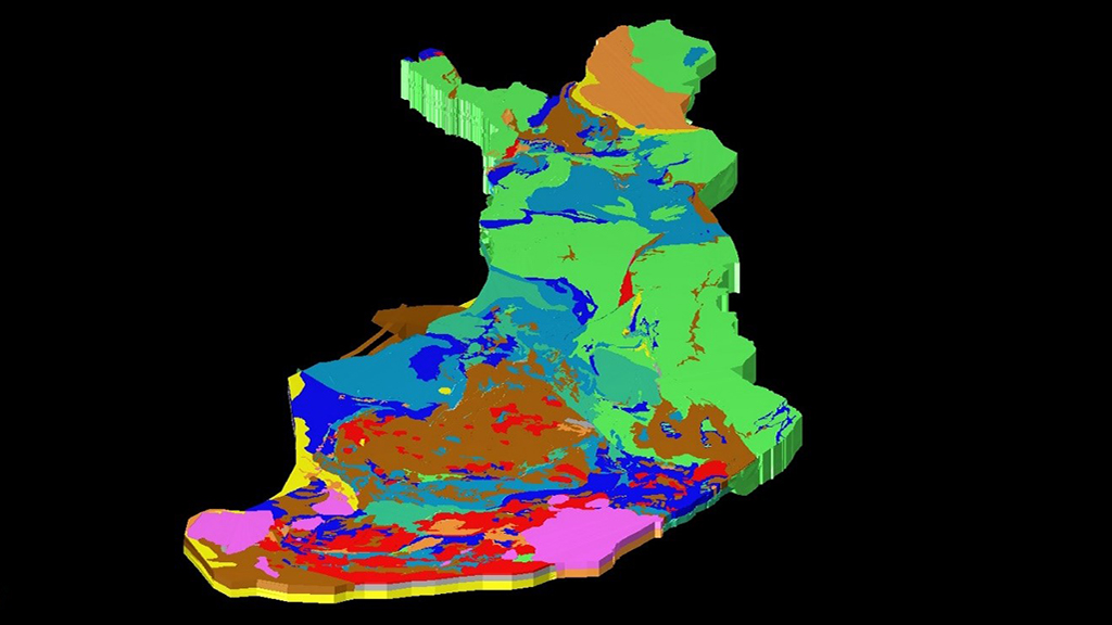
The model is a general 3D presentation, one kind of vision how the upper crust of Finland might be. The entire model extends at least to the depth of 20 km. At least in some places, it also continues below the upper crust.
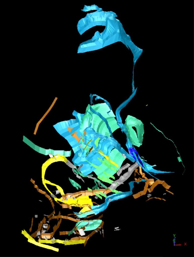
The model includes lithological bodies and main structures. In the case of lithological bodies, one file can include lithological bodies of one or more lithological (lithodemic or lithostratigraphic) units. Sometimes, at the lower depths, the lithological units were not distinguished. Within a certain file, different rock types were not usually differentiated. Instead, a certain lithological area can have been divided into several lithological bodies, for example, based on structures.
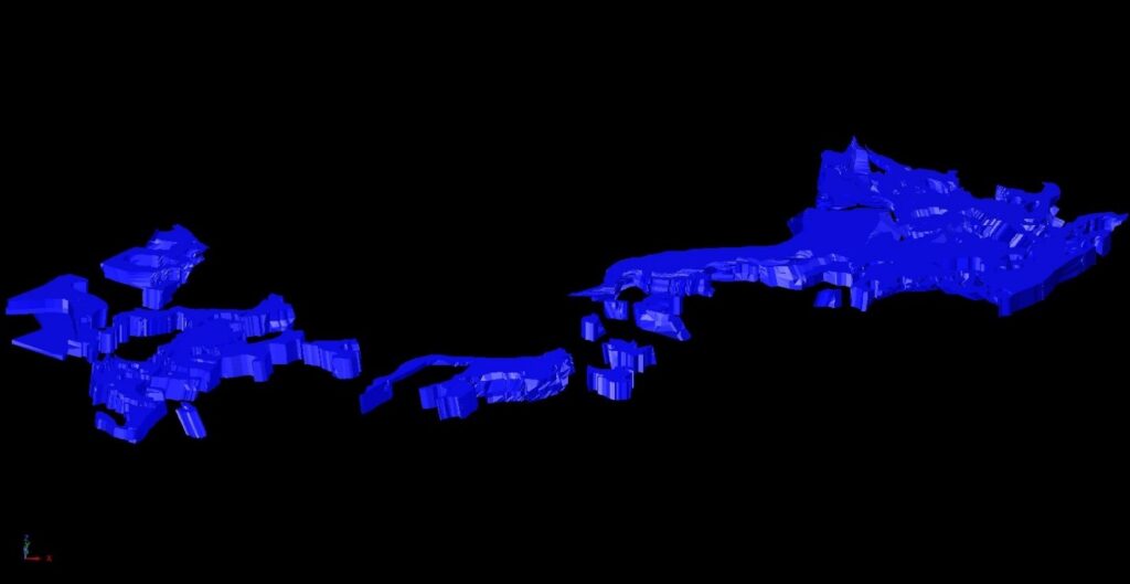
The modelled structures include major shear, fault and thrust zones. Not all faults of a certain zone were modelled, but instead the modelling was focusing on the main faults. One file can include faults of one or more zones. Major folds of Southern Finland and southern part of Central Finland were also modelled. The folds are found in two different files. A few structural domains were also modelled, and each of them is found in their own files.
The model is based on comprehensive geological data sets
The model is chiefly based on geological data and seismic profiles. The constraints (2D) of the lithological bodies and structures were based on the polygons and lines of digital bedrock map databases, but as simplified. In addition, structural information (e.g., foliation) was obtained from them and from older, printed bedrock maps.
Literature, aeromagnetic data and gravimetric data were also used in the modelling. However, aeromagnetic data were used only a little. Gravimetric data, in general, were not used extensively either.
The depth dimensions of the lithological bodies and structures were estimated, for example, based on geological observations, geophysical data, and literature. The interpretations of the modellers also guided the modelling process, especially when data was not available.
Currently, the model is available as a 3D pdf -file. To view the model, the 3D content must be enabled in the pdf reader. The actual modelling work was made by Paula Salminen and Jouni Luukas, using the GEOVIA Surpac software. The model consists of several files. The 3D pdf has been compiled based on these files, and different lithological bodies and structures appear as layers in the 3D pdf.
Later, the model will be updated for example, based on new information or the application of already existing data. In addition, attribute data will be available for the model. The model will also be available in other formats, in addition to the 3D pdf -file.
Further information
Paula Salminen, Senior Scientist (3D model)
paula.salminen@gtk.fi
tel: +358295032233
Jarkko Jokinen, Senior Scientist (geophysical data)
jarkko.jokinen@gtk.fi
tel: +358295030221
3D pdf -file (To view the model, the 3D content must be enabled in the pdf reader)
A working report, which describes the modelling work