Bedrock of Finland
A search service for Bedrock of Finland 1:200,000 and geological units (Finstrati), as well as related electronic publications.
Search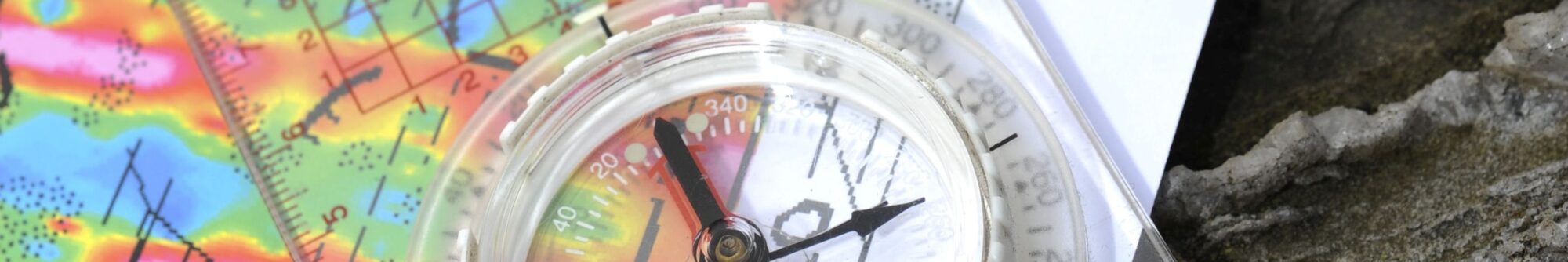
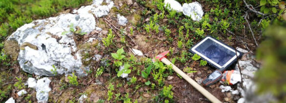
In map services, you can find a large amount of observation and measurement data in visual format. The datasets have been grouped into themes according to their purpose of use, including mineral deposits, bedrock surveying, and peatland surveys. In map services, you can activate the map layers you want, zoom in or out to any scale, and click objects for more information.
MDaE is an online map service covering Finland and showing the locations of known ore and industrial mineral deposits.
Enter map service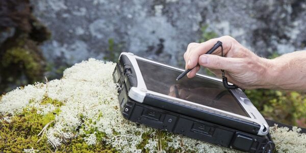
Mineral deposits of the Nordic Countries map application includes metal and industrial mineral mines, mineral deposits, metallogenic areas, as well as geological and geophysical maps from the Fennoscandian region (Finland, Sweden, Norway), Estonia, and Greenland.
Enter map service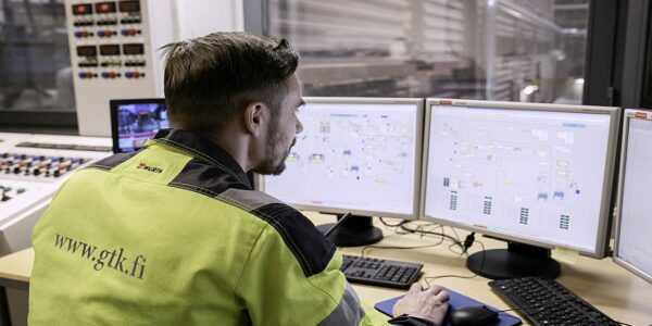
MPM Online Tool is a web tool for using GTK’s spatial data products with the spatial analysis functions of the ArcGIS software family and for assessing possible ore prospecting areas in northern Finland.
Use tool
The online service contains systematically organized and maintained data for various types of mineral systems and aims to support identification of new mineral exploration targets in Finland.
Access service
A search service for Bedrock of Finland 1:200,000 and geological units (Finstrati), as well as related electronic publications.
Search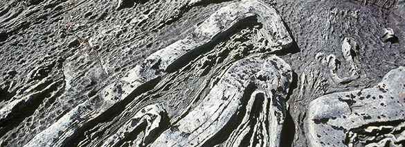
In the application, you can search for information about bedrock structures and references to related scientific publications. The database behind the application is maintained by GTK.
Access Finstruct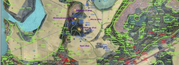
Map services providing the latest information on Finnish ground and bedrock. The map includes an elevation model based on the National Land Survey of Finland’s laser scanning data.
View map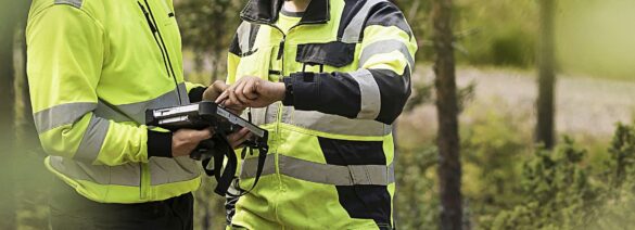
The occurrence and characters of the acid sulfate soils in Finland’s coastal regions.
Information on sulphate soils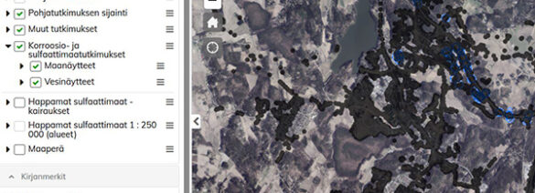
A service for viewing and downloading data on ground investigations collected from various sources.
Browse data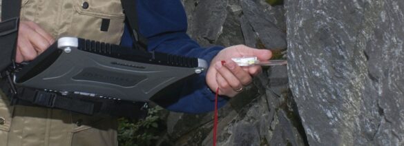
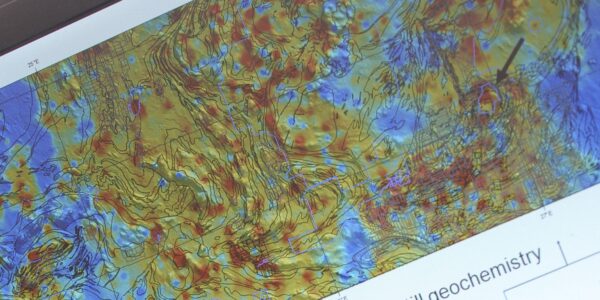
The map service calculates regional geochemical baselines in soil on the basis of concentration observations saved in a database.
Access service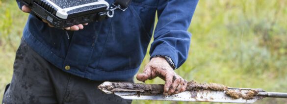
Land use of mires and peatland and surveyed peat resources.
More information on peatlands
The Lähde online service collects and provides access to the results of ground water surveys conducted by GTK. The service also includes general information on Finland’s groundwater bodies.
Access LähdeDatasets and spatial data products are largely owned by GTK, and their use is subject to certain conditions and practices. The PDF files below indicate how and where you can use GTK’s datasets.